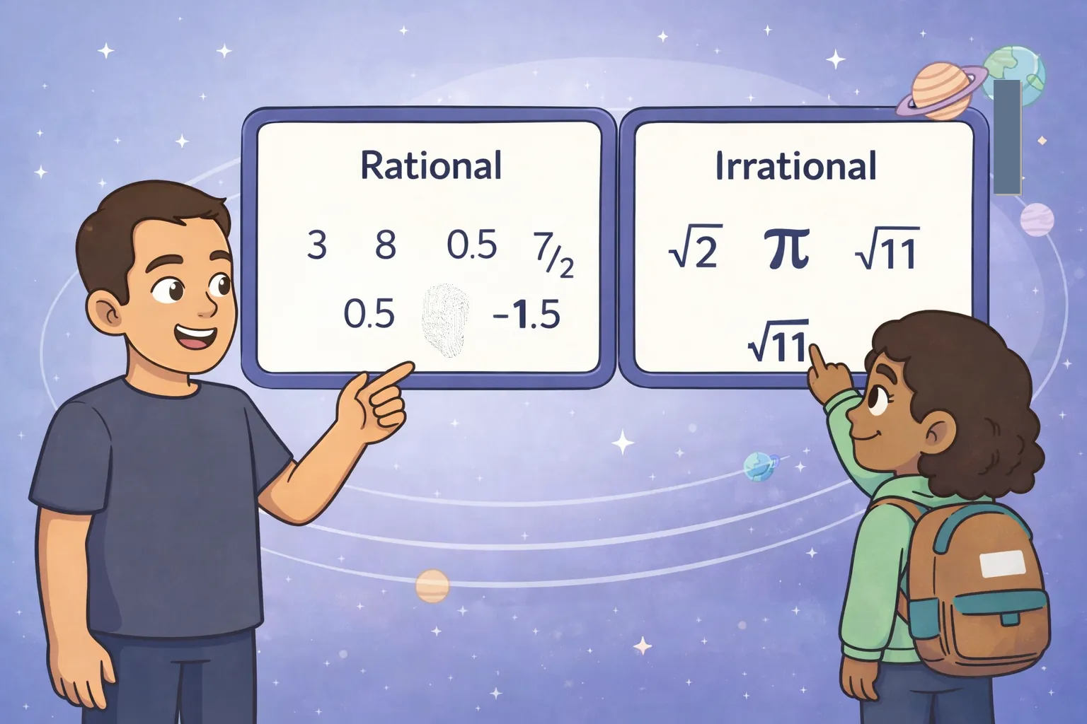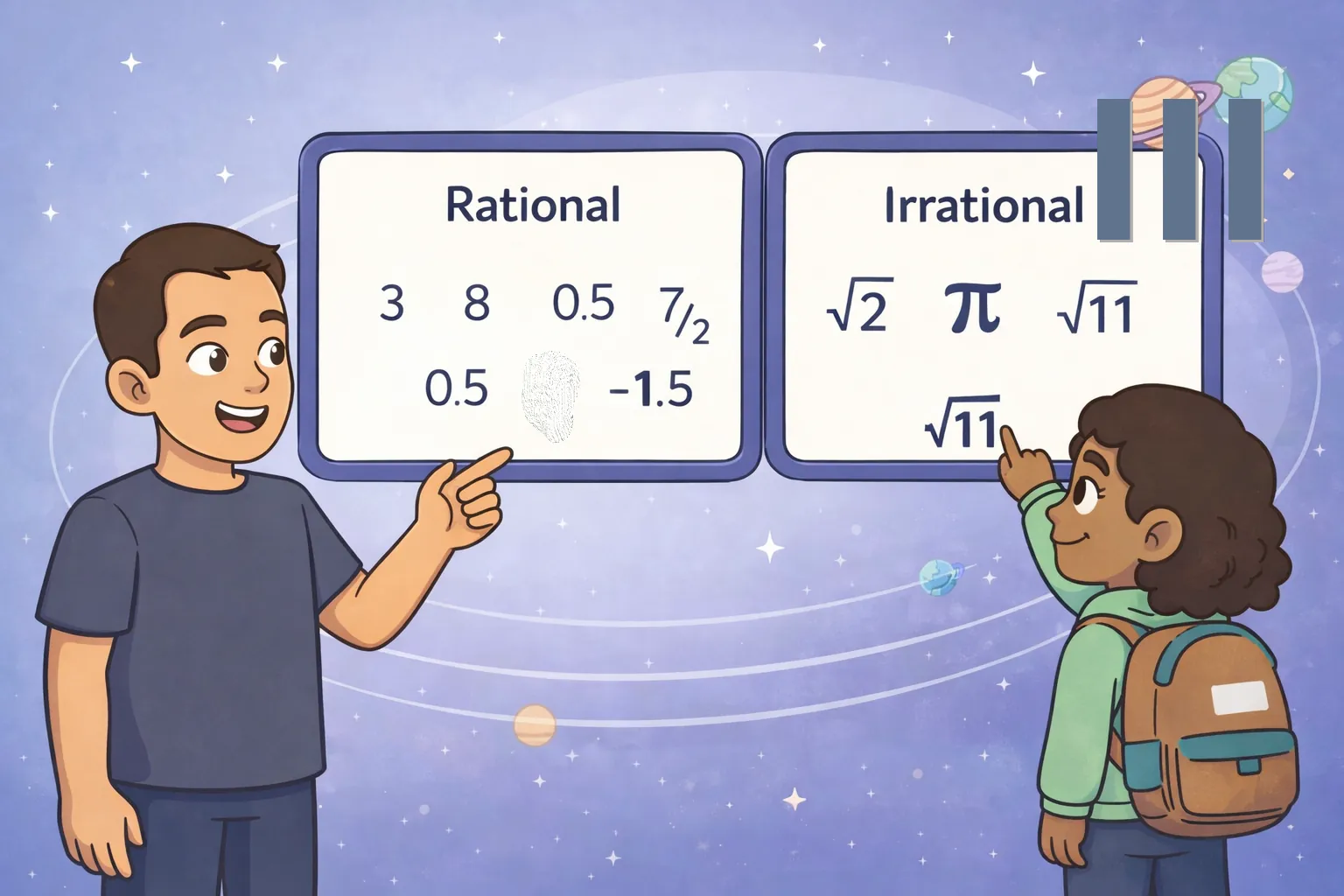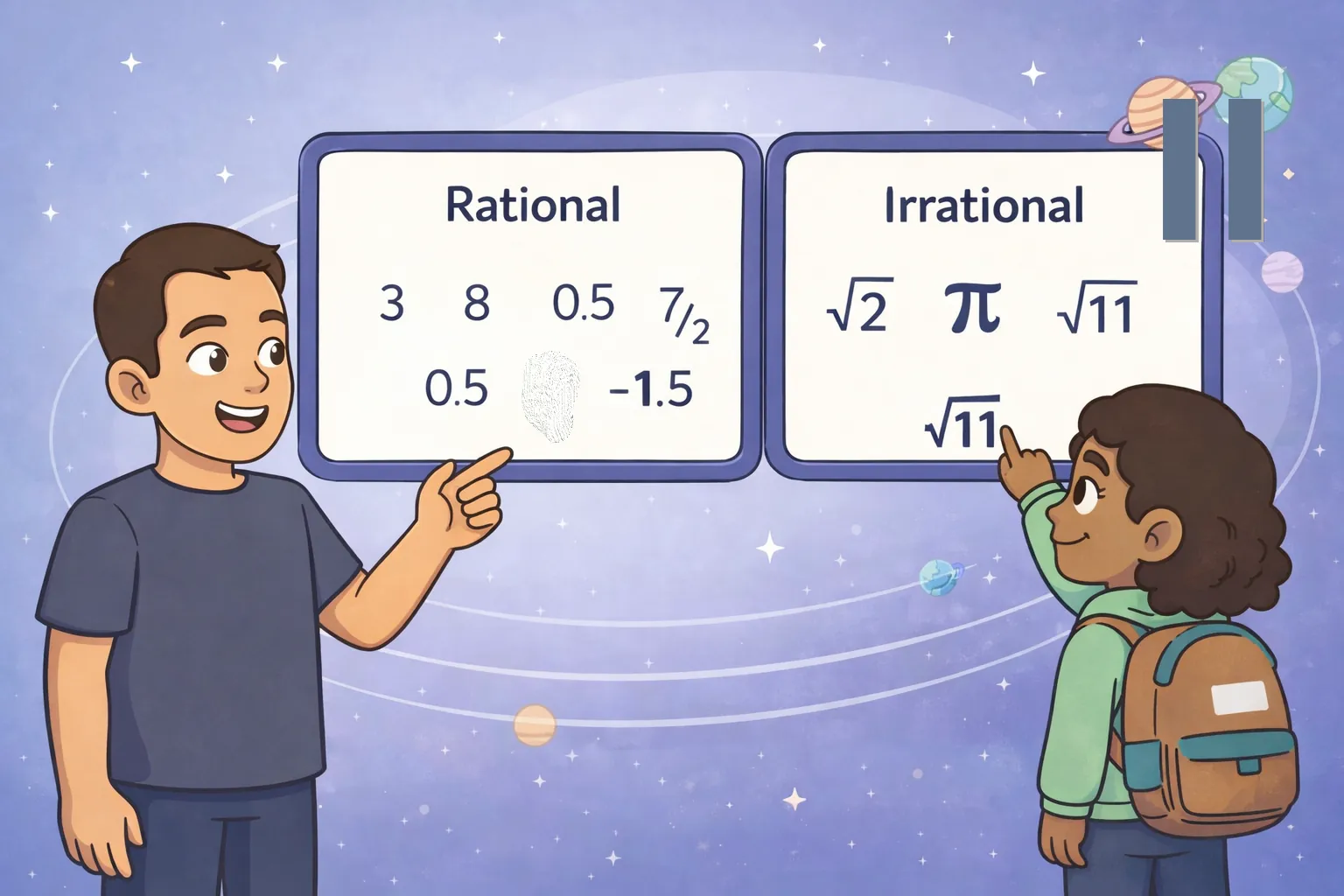
While mapping a landing zone above the Moon, Emek and Luna discovered four loose distance labels: 2.6, 13/5, sqrt(49), and sqrt(30) kilometers. The map separated routes into rational and irrational distance categories, so they had to classify each label before choosing a safe path. Luna noticed that 2.6 and 13/5 represented the same rational value. Emek simplified sqrt(49) to 7, making it rational as well. The remaining label, sqrt(30), was different because 30 is not a perfect square, so its square root is irrational. Two possible landing routes then appeared: one marked 13/5 kilometers and another marked sqrt(30) kilometers. Since sqrt(30) lies between sqrt(25) and sqrt(36), they knew its distance was between 5 and 6 kilometers. The 13/5-kilometer route was only 2.6 kilometers, so they selected the shorter safe route. With the labels restored, the landing map was complete.